
Spearfishing Advice
Scouting Spearfishing Spots from Your Couch: Reading Depth Maps and Satellite Layers Before You Dive
Sep
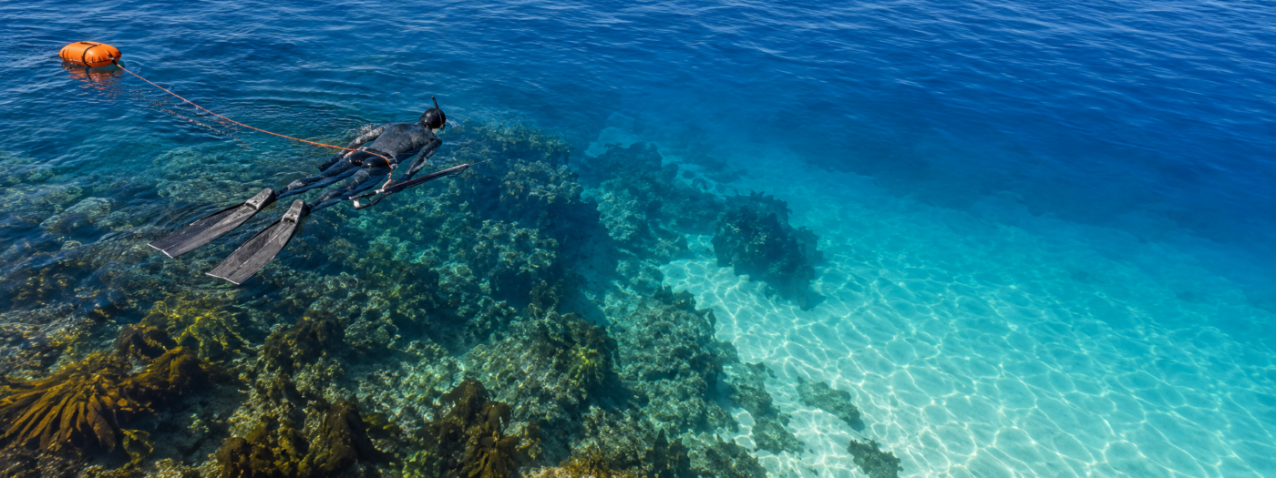
Every spearo knows the feeling of a wasted session: forty minutes of kicking over flat sand, lungs burning, not a fish in sight, while somewhere a few hundred metres away there’s a ledge full of them. Most of that searching can happen before you ever load the car. These days a good share of pre-dive scouting happens on a fishing app that layers depth contours over satellite imagery, and once you learn to read those two views together, you start arriving at the water with a plan instead of a guess.
This isn’t about replacing time in the water. Nothing does that. It’s about spending that time where fish are most likely to be, and picking the day when the water will actually let you see them.
What to Look for on a Depth Map
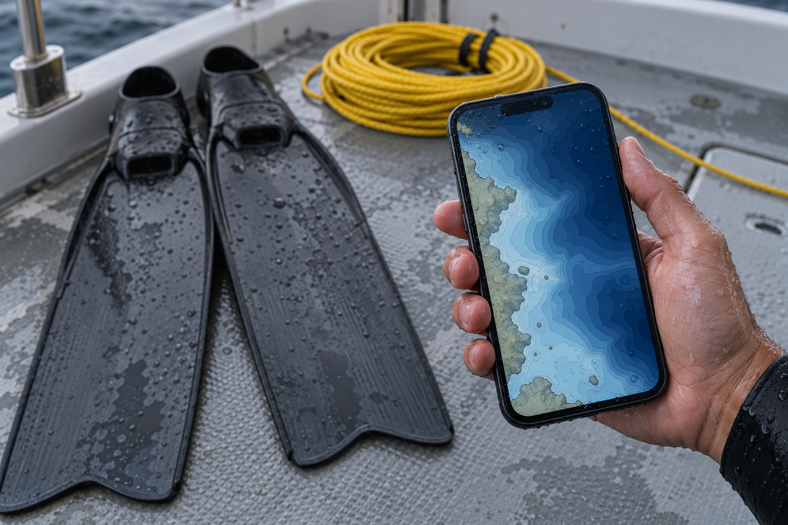
A bathymetric map shows the shape of the bottom through contour lines, each one joining points of equal depth. For a spearfisher, those lines are a treasure map, as long as you know what you’re looking at.
Lines bunched close together mean a steep change in depth. That’s a drop-off, a wall or a ledge, and edges like these are where fish hold. Predators patrol them, baitfish shelter along them, and reef species tuck into the cracks. When you see contours stacking up tightly, mark it.
Look for bends and points in the contours. A contour line that bulges out to sea usually marks a point or a ridge running offshore. These concentrate current and bait, and they often hold fish on the down-current side.
Watch for isolated bumps. A small closed circle of contours sitting on otherwise flat bottom is a pinnacle, a bommie or a patch of reef. Lone structure on open sand acts like a magnet, because it’s the only shelter for a long way in any direction.
Saddles and gutters matter too. A dip between two reefs, or a channel cutting through one, can funnel fish moving with the tide.
Match the depth to your breath-hold. It’s tempting to circle the most dramatic structure on the map, but a ledge at 25 metres is no use to a diver comfortable at 10. Mark the structure that sits inside your real range, and keep the deep spots for later.
One caution: contour lines show the shape of the bottom, not what’s growing on it. A perfect-looking ledge might be bare rock scoured clean by swell. That’s where the satellite layer comes in.
What the Satellite Layer Tells You
Switch to satellite imagery and the shallows come to life, at least where the water is clear enough for the camera to see through it.
Dark patches in shallow water are usually reef, rock, kelp or weed. Light areas are usually sand. The boundary between the two, the sand line or reef edge, is one of the most reliable places to find fish, especially species that feed over sand and retreat to cover.
Scattered dark spots on sand often mean bommies, boulders or isolated weed beds, and each one is worth a look.
Channels and gutters show up as darker lines running through lighter bottom, and they’re often where current moves bait.
The satellite view has limits. In deep water or on a coast with naturally murky water, it shows very little. Imagery can also be months or years old, and sand moves. Treat it as a strong hint rather than a survey.
The real power comes from combining the two layers. Contours tell you a ledge exists at 8 metres; the satellite layer tells you it’s covered in weed and sits right on the sand line. That’s a spot worth driving to.
Picking the Right Day for the Spot
A perfect spot on a bad day is still a bad dive. Visibility makes or breaks spearfishing, and most of it can be predicted a day or two out if you know which forecasts to read.
Swell height and period. Height gets all the attention, but period matters just as much. A long-period swell carries more energy through the water column than a short wind swell of the same height, so it stirs up the bottom, creates surge and cuts visibility even on days that look calm from the beach. For shallow reefs, small swell with a short period is usually kinder than a “small” long-period groundswell.
Wind direction relative to your coast. An offshore wind, blowing from land to sea, tends to flatten the surface and often pushes clearer water in along the shore. An onshore wind builds chop and tends to stir the water up. Direction relative to the coastline matters more than the number on the forecast.
Tide. On many coasts, an incoming tide brings cleaner ocean water in over inshore reefs, while the outgoing tide drains dirtier water out of bays, estuaries and river mouths. Slack tide means less current, which is easier and safer for diving, particularly around points and channels.
Rain. After heavy rain, runoff can ruin visibility near river mouths, creeks and stormwater outlets for days. If it’s been wet, pick spots well away from freshwater inflows.
Put those together and you get a simple go or no-go call for each spot on your list: small swell, offshore breeze, incoming tide, no recent rain nearby is a green light. Big groundswell, onshore wind and a flooded river next door means stay home and service your gear.
One honest note: many fishing apps, including ours, show a bite forecast. That’s built for anglers with rods and bait. Underwater, the numbers that matter are swell, wind and tide, so that’s where to look first.
The Map Is Only Half the Job
No map finds fish for you. It narrows the search from the whole coastline to a handful of places worth checking, and that alone saves a lot of wasted dive time. The other half happens in the water.
Every time you dive a marked spot, note what you found: depth, bottom type, visibility, which way the current ran and what fish were there. Save the good ones as your own marks, add notes about the conditions on the day, and within a season you’ll have a personal map that no chart can match. You’ll also start to see patterns, like the ledge that only fires on a rising tide or the reef that stays clean when everywhere else is dirty.
Rules and Safety Come First
Spearfishing rules vary a lot from place to place. In both the US and Australia they’re set state by state, and they cover what you can spear, minimum sizes, bag limits and where you can dive. Marine parks often contain sanctuary or no-take zones, such as the green zones on the Great Barrier Reef, where spearfishing is banned outright. Some species are protected from spearing even where line fishing is allowed. Spearfishing on scuba or hookah is illegal in many places, including much of Australia. Check the current rules for your exact spot before every trip, because a promising reef on the map may sit inside a zone you can’t touch.
And never dive alone. Use the one up, one down rule so your buddy is always watching from the surface. Tow a float and flag so boats can see you, which many US states require by law. Shallow water blackout gives no warning and can happen to experienced divers, which is why the buddy system matters more than anything else in this article.
Frequently Asked Questions
Can you really find new spearfishing spots on a map?
Yes. Depth contours and satellite imagery won’t show you fish, but they’ll show you the structure fish use, and that cuts search time dramatically. You still have to get in and check.
What’s the best wind for visibility?
Generally a light offshore wind, blowing from land out to sea. Onshore winds tend to create chop and dirtier water along the coast.
How deep should a beginner look?
Stay well within your comfortable breath-hold depth, often 5 to 10 metres when starting out. Plenty of great structure sits in shallow water.
Do fishing apps work for spearfishing?
The mapping and conditions tools do: depth contours, satellite layers, swell, wind and tide. Bite forecasts are designed for line fishing, so focus on the conditions data.
